Cartographer or Photogrammetrist
Overview and Key Facts
Education
Bachelor's degree
Median Pay
$68,900
Job Growth
2.60%
(Below US Average)
Jobs in 2031
13,700
What Do They Do?
A cartographer and photogrammetrist could...
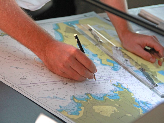
Survey rough terrain by plane to create accurate maps.
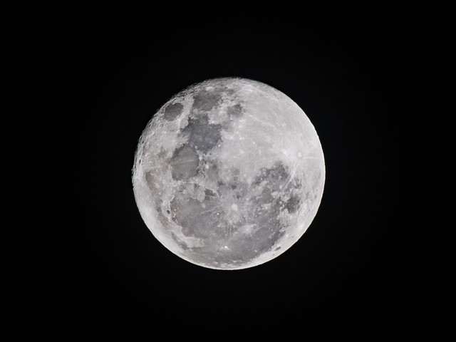
Use photos to make a map of the Moon's craters.

Create nautical charts to help guide ships through treacherous waters.

Develop city maps to help tourists find their way.


Overview Listen to this section
Maps can give us much more information than ways to get from A to B. Maps can give us topographic, climate, and even political information. Cartographers and photogrammetrists collect a vast amount of data, such as aerial data and survey data to produce accurate maps and models. For example, by collecting rainfall data, a cartographer can make an accurate model of how rainfall can affect an area's watershed. The maps and models can then be used by policy makers to make informed decisions.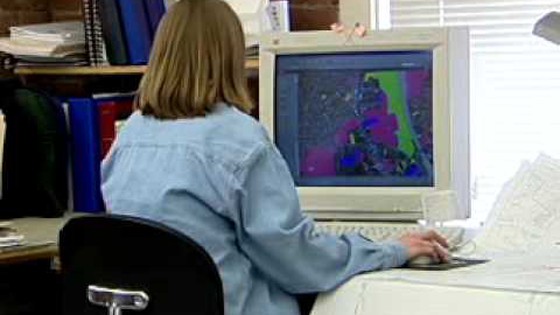
Watch this video showing how a geographic information specialist can provide information about a location to help policy makers understand the effects of their decisions.
Do You Have the Skills and Characteristics of a Cartographer or Photogrammetrist?

Core Tasks
Think about if you'd like the typical tasks a Cartographer or Photogrammetrist might do:Please create a free account to view this career and access our full library of over 160 STEM careers.
With a free account you will have access to our full library of over 160 STEM careers. Each career profile includes detailed information to help you learn about a career and the requirements to get there. You can explore:
- salary information by state
- recommended high school coursework
- fun projects and activities to test out a career
- videos and interviews with professionals in the field
- details on what a day on the job is like